Eratosthenes measures the Earth, or how a shadow told the whole story
At noon on the summer solstice, somewhere in Syene — the city the Greeks called the southern edge of the world — sunlight fell straight down a well and touched the water at the bottom without casting a shadow on either side. A vertical rod set in the ground cast no shadow at all. The sun was directly overhead.
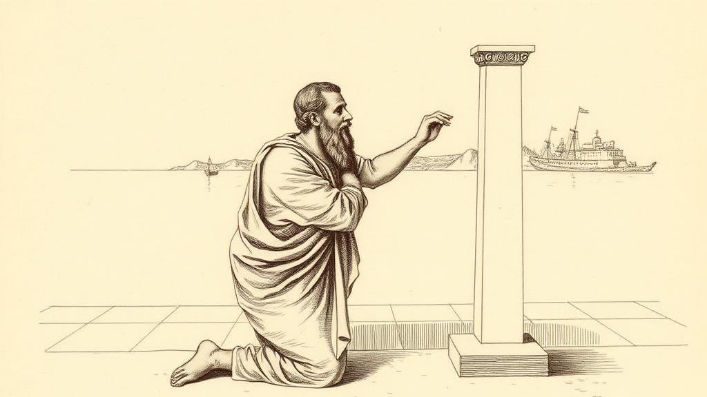
Eratosthenes knew this because he had read about it. In 240 BCE he was the chief librarian at Alexandria — third to hold the post, responsible for a collection that reportedly ran to half a million scrolls — and his library held geographic reports from every corner of the known world. From seven hundred miles north in Alexandria, on that same solstice noon, the sun was not directly overhead. A tall obelisk cast a measurable shadow. Eratosthenes measured the angle: 7.2 degrees, or exactly one-fiftieth of a full circle.
He had his numbers. The next step was embarrassingly simple.
If the angle between Alexandria and Syene was 1/50 of a circle, then the distance between them was 1/50 of the Earth’s total circumference. That distance — roughly 5,000 stadia — he took from the bematists, professional surveyors who made a living pacing out distances for the Ptolemaic state. Multiply 5,000 by 50: 250,000 stadia. Eratosthenes later adjusted the figure to 252,000 to make it divisible by sixty, a concession to computational elegance that geographers have forgiven him. Converted to modern units, his answer comes out at roughly 40,000 kilometres. The actual equatorial circumference is 40,075 kilometres.
There is a footnote worth having. Syene sits about one degree north of the Tropic of Cancer, and the two cities are not on the same meridian — so his geometric premises were slightly wrong. His answer was almost exactly right. Compound this with the fact that no one is certain how long a Greek stadion actually was — estimates from different cities range from 157 to 185 metres — and you have a calculation that has generated scholarly debate for two millennia while remaining, somehow, almost exactly right.
What Eratosthenes delivered to cartography was a ruler. Before him, maps had shapes and directions and relative distances, but no reliable scale — no way to say this length on the parchment equals this many miles on the ground. His circumference gave every mapmaker since a fixed number to work backward from. He also laid down the first global grid, imaginary lines of latitude and longitude crossing the known world, and in doing so coined the word that would name the entire discipline: geōgraphia, earth description (Encyclopaedia Britannica).
Every modern atlas, every GPS coordinate, every latitude-longitude pin dropped on a phone traces a line back to that noon shadow in Syene. The well is still there, in what is now Aswan, Egypt. It does not appear on most maps.
Sources
- Eratosthenes — Wikipedia — the measurement method, the 7.2-degree angle, the bematists, his role at Alexandria, and the circumference calculation.
- Eratosthenes — Encyclopaedia Britannica — his coinage of geōgraphia, the latitude-longitude grid, and the significance for subsequent cartography.
- NOAA National Ocean Service: History of Geodesy — the Syene well observation, the solstice geometry, and modern assessment of his accuracy.