Maps
Ten thousand years of humans drawing the world — from Babylonian clay tablets to satellite imagery.
8 posts· 11660 BCE – 1300
-
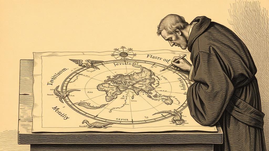 The Hereford Mappa Mundi: the world as it was meant to be
-
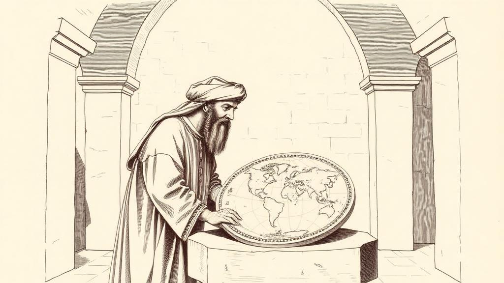 The Book of Roger: al-Idrisi maps the world in silver
-
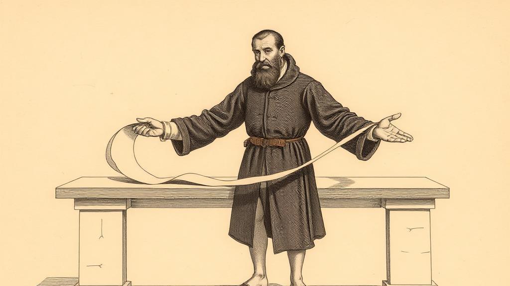 Tabula Peutingeriana: seven metres of Roman roads
-
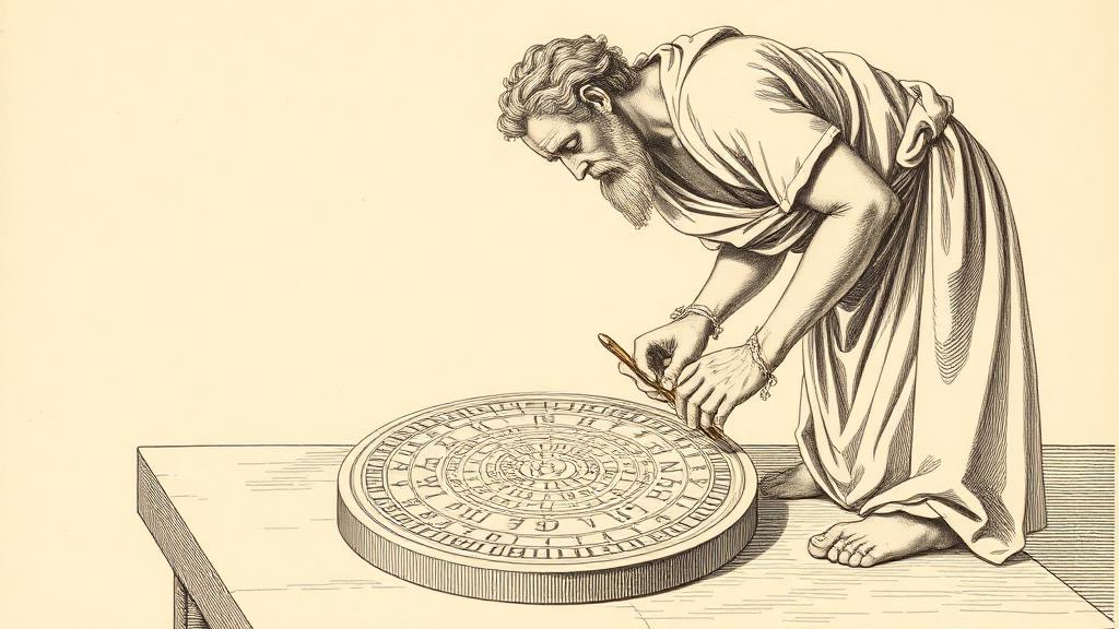
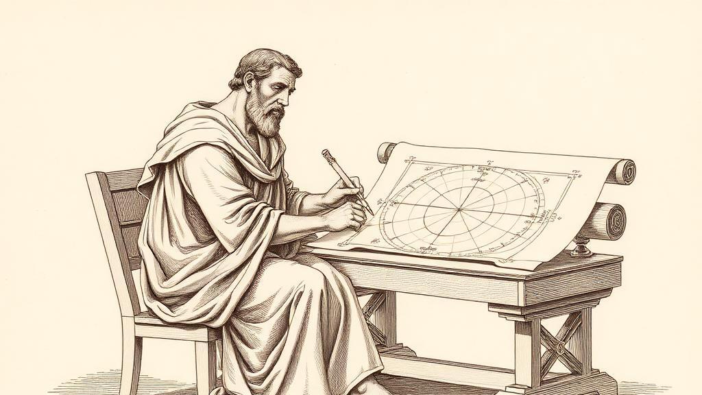 Ptolemy's Geography and the grid that outlasted Rome
-
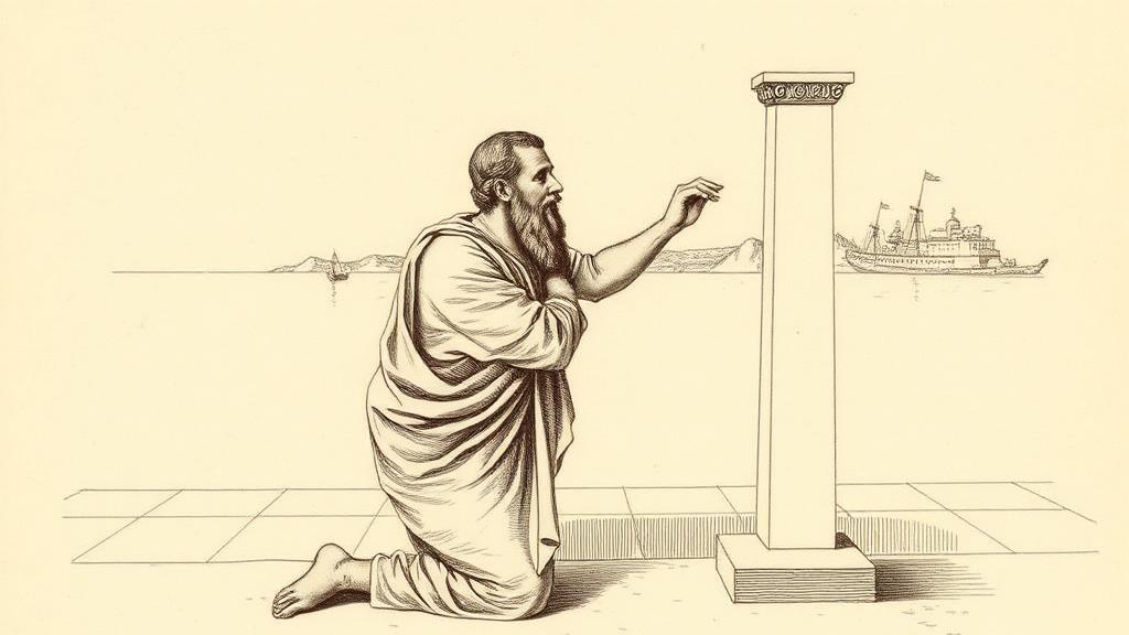 Eratosthenes measures the Earth, or how a shadow told the whole story
-
 Anaximander's world map, or how a philosopher drew the whole earth
-
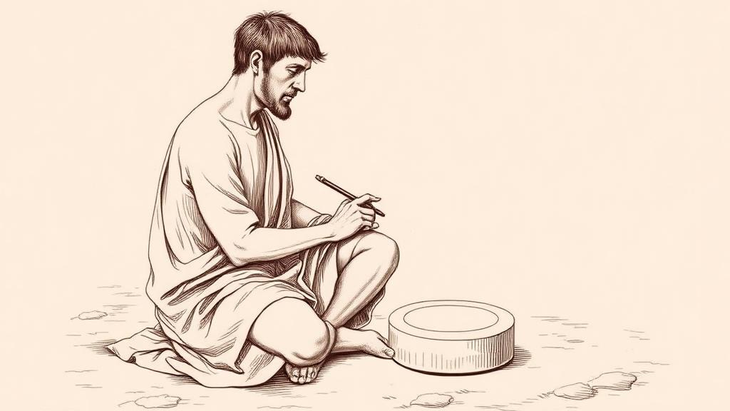 The Babylonian world map, or how an empire drew the edge of everything
-
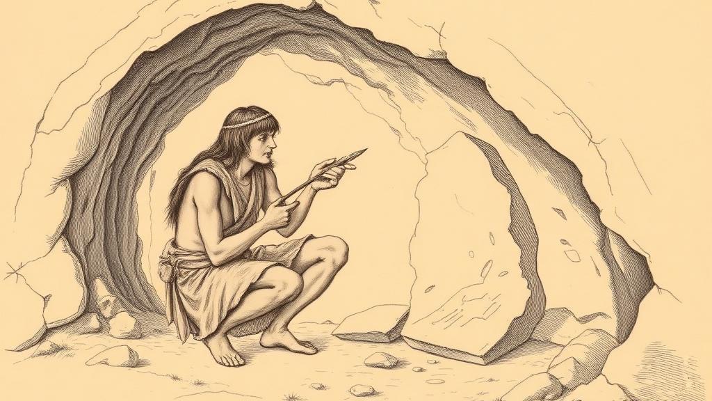 The Abauntz map, or how a hunter scratched the world onto a stone