Ptolemy's Geography and the grid that outlasted Rome
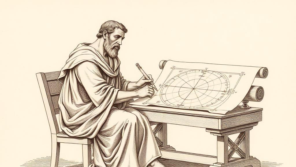
Sometime around 150 CE, a scholar named Claudius Ptolemy sat in Alexandria and did something no one had done before at this scale: he listed every place he could find — city, river mouth, cape, mountain — and assigned each one a pair of numbers. A latitude. A longitude. He had roughly 8,000 of them. The result was a book called the Geography, which is less an atlas than a machine for producing one: a gazetteer encoded so precisely that anyone with the same coordinates, in any century, could reconstruct the same map.
Ptolemy drew on the now-lost atlas of Marinus of Tyre, adding Roman military surveys, Persian road itineraries, and travellers’ accounts (Wikipedia). He organized the result across eight books. The first was a treatise on cartographic theory, proposing three separate map projections for rendering a sphere onto a flat surface — a problem that, as cartographers would discover over the next fourteen centuries, has no perfect answer. Books two through seven were the gazetteer proper. Book eight laid out the regional maps.
The coordinate system was his cleanest invention. Ptolemy set his prime meridian at the Fortunate Isles — the Canary Islands, then the westernmost charted land — and measured longitude east from there, all the way to China. Latitude ran in degrees of arc from the equator, exactly as it does today. He was not the first to propose latitude and longitude in theory, but he was the first to apply the grid to 8,000 named places with enough rigour that the map could be reconstructed from the numbers alone (Britannica).
The errors, when you list them, are spectacular. Ptolemy rejected Eratosthenes’ more accurate figure for Earth’s circumference and used a smaller value — making the planet roughly 30 percent too small. His Mediterranean stretched about 20 percent too far east to west. His Indian Ocean was sealed shut to the south, a closed sea with no passage to anywhere. He got the British Isles approximately right in shape but rotated Scotland nearly 90 degrees from where it actually sits.
None of which stopped the book from dominating geographical thought for thirteen centuries. The Geography disappeared from Western Europe after Rome’s fall and survived in Byzantium, unknown to Latin readers. In 1295 the monk Maximus Planudes wrote that he had “discovered through many toils” a copy that had “disappeared for many years,” then had his colleagues reconstruct the maps from the coordinate data alone — proof that the encoding scheme outlasted every drawing it had ever produced (Wikipedia). The Greek manuscript reached Florence in 1397 and was translated into Latin by Jacobus Angelus around 1406, igniting the cartographic ambitions of the Renaissance.
Christopher Columbus read the book carefully and used the errors on purpose. He chose Marinus of Tyre’s overestimated eastward extent of Asia — 225 degrees rather than Ptolemy’s 180 — then compressed the Earth further by switching to shorter Arabic miles. The result, on paper, was a Japan sitting a manageable 2,400 miles west of the Canaries. He was off by roughly 8,000 miles. A continent he had not accounted for was there at the distance he’d predicted.
What Ptolemy actually gave the world was not the map but the idea beneath it: that any location on Earth can be named by two numbers, and that two observers in different centuries, working from the same numbers, will agree on where everything is. The errors corrected themselves — Mercator, Cassini, the GPS constellation. The grid was never replaced.
Sources
- Geography (Ptolemy) — Wikipedia — structure of the 8 books, the coordinate system, Marinus of Tyre, Planudes’ 1295 rediscovery, and Columbus’s use of the longitude errors.
- Guide to Geography — Encyclopaedia Britannica — overview of scope, coordinate methodology, and lasting influence on Byzantine and Renaissance cartographers.