Tabula Peutingeriana: seven metres of Roman roads
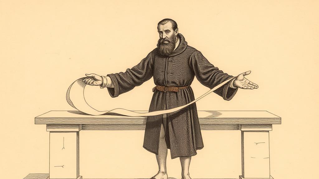
The map unrolled to almost seven metres long and barely thirty-five centimetres wide — the proportions of a till receipt, not a world atlas. When the humanist Conrad Celtes spread it out in a library in Worms in 1494, he found the Mediterranean squeezed into a thin blue stripe, the Indian Ocean packed into a lower margin, and Britain wedged awkwardly into a corner as though the cartographer had run out of parchment. It was not, by any modern measure, geographically accurate. It was, without question, the most complete surviving picture of the Roman road network that existed anywhere on earth.
The Tabula Peutingeriana — named for Konrad Peutinger, the Augsburg antiquarian to whom Celtes bequeathed the scroll when he died in 1508 — is a medieval parchment copy of a Late Antique original, probably revised through the fourth and fifth centuries CE. Eleven sheets stitched into a document 6.75 metres long and 0.34 metres wide, it now lives in the Austrian National Library in Vienna as Codex Vindobonensis 324. UNESCO inscribed it in the Memory of the World register in 2007. The scroll has been displayed to the public exactly once: on 26 November 2007, for a single day.
The archetype behind the medieval copy is older still. Scholars believe it derives from a map commissioned by Marcus Vipsanius Agrippa, Augustus’s general and son-in-law, engraved in marble and displayed in the Porticus Vipsania in Rome before Agrippa’s death in 12 BCE. Later editors revised it through the fourth century. One clue to the original’s deep antiquity is quiet and specific: Pompeii appears on it as a functioning city — a detail impossible to add after August 79 CE. Across its eleven sheets the Tabula records 555 cities and 3,500 place names, spanning the road network from Britain to the Malabar Coast of India. Rome, Constantinople, and Antioch receive special illustrated icons. A temple to Augustus is noted at Muziris, on the southwestern tip of India — a quiet reminder that Roman trade stretched well past its military frontier.
What made Celtes’s discovery fraught was what he chose not to say about it. He deliberately concealed where he had found the map, erasing three centuries of provenance in a single silence. The theologian Johann Eck accused him of outright theft from a South German monastery library; modern scholars, including Emily Albu, think Eck was probably right. Celtes and Peutinger appear to have understood that the scroll’s origins were better left unspoken. The map passed through European hands for two more centuries — sold at one point to Prince Eugene of Savoy for 100 ducats, and acquired by the Habsburg imperial library on his death in 1737. The original owner remains unknown.
The Tabula’s most radical feature is its indifference to geographic fidelity. The Roman cartographer was not trying to show the world as it looks from above. He was trying to show how long it took to get from one city to the next. The result flattens north-south distance in favour of east-west legibility: a practical itinerarium pictum — a pictorial road itinerary — not an atlas. The logic is exactly what Harry Beck would apply to the London Underground map fourteen centuries later: topology over topography, route over shape.
What Rome was measuring was not the shape of the world but the cost of crossing it. That instinct never went away.
Sources
- Tabula Peutingeriana — Wikipedia — physical description, Agrippa origin, discovery by Celtes, Peutinger bequest, geographic coverage, UNESCO registration.
- The Peutinger Table — Lost Cartography — city and place-name counts, physical dimensions, distortions, itinerary function.
- Tabula Peutingeriana — Encyclopaedia Britannica — itineraria picta tradition, Agrippa connection, Vienna holding.