The Book of Roger: al-Idrisi maps the world in silver
In January 1154, craftsmen in the royal palace at Palermo set down a silver disc weighing some 300 pounds — roughly two metres across — on which the known world had been engraved. King Roger II of Sicily had waited fifteen years for it. He was dead within weeks.
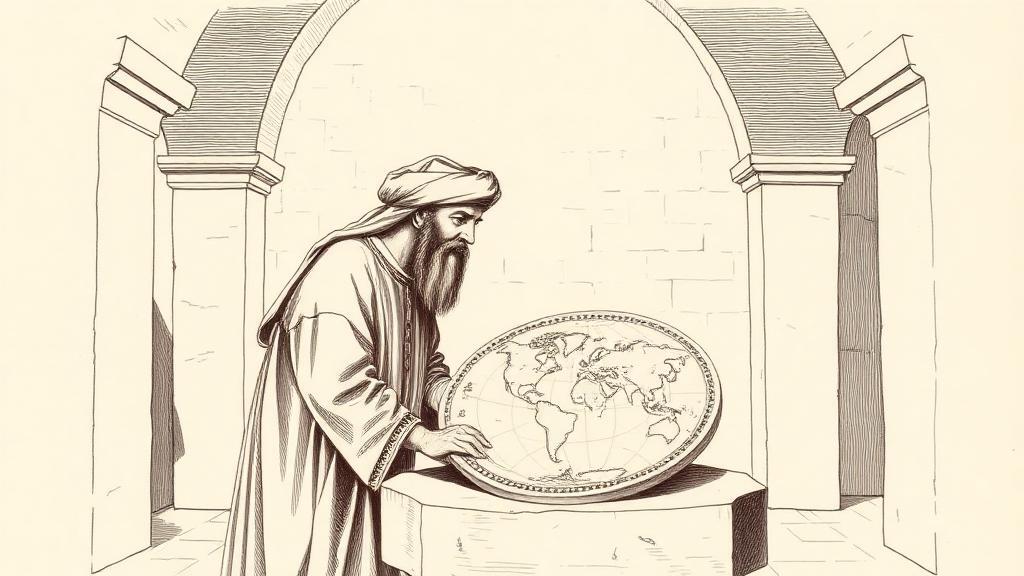
The man who made it was Muhammad al-Idrisi, born around 1100 in Ceuta on the Moroccan coast, educated at Córdoba, and widely travelled — Portugal, France, southern England, Asia Minor — before arriving at the Norman court of Roger II around 1138. Roger was a curious case: a Norman king governing an island recently won from an Arab emirate, presiding over a multilingual court where Arab administrators still ran the treasury and Arab craftsmen still shaped the stonework. He wanted a geography of the world. Al-Idrisi, who had actually walked a good portion of it, agreed to build him one.
The research took fifteen years. Al-Idrisi examined every map he could find, then systematically interviewed the travellers passing through Palermo — merchants, sailors, pilgrims — about the coastlines and distances they had actually crossed. Their testimony was checked against the maps; the maps were corrected against the testimony. He also drew on three centuries of Islamic geographic scholarship that European cartographers had never encountered. The final work, the Nuzhat al-Mushtāq fī Ikhtirāq al-Āfāq — “The Pleasure Excursion of One Who Is Eager to Traverse the Regions of the World,” a title that is either deeply poetic or a very long way of saying atlas — comprised seventy sectional maps bound into a codex, with the silver disc serving as their composite summary.
The accuracy was striking. Al-Idrisi calculated the Earth’s circumference at around 37,000 kilometres; the actual figure is 40,075. That is an error of roughly 8 percent, in 1154. The map would remain the most accurate representation of the world for approximately three centuries. Medieval European mappae mundi of the same period placed Jerusalem at the centre and organised geography around theology; al-Idrisi organised it around observation.
There is one detail that stops modern readers cold. The Tabula Rogeriana is oriented with south at the top. North is at the bottom. Mecca sits near the centre. This was not eccentricity: it followed the same orientation used by the 10th-century Islamic geographer Ibn Hawqal, and it was entirely deliberate. When you rotate the map — when you flip it to north-up — the Mediterranean coastlines and the landmasses snap into immediate recognition. The geography was never wrong; we just learned to look at maps the other way round.
The silver disc is gone, almost certainly lost in the political turmoil that followed Roger’s death. Ten manuscript copies of the atlas survive; the oldest, dated around 1325, sits in Paris at the Bibliothèque nationale de France (MS Arabe 2221). The most complete, with all seventy maps intact, is in Istanbul.
What al-Idrisi produced was something neither world could have generated alone: a map built from Greek structural frameworks, three centuries of Islamic geographic knowledge, and the empirical testimony of people who had actually sailed those seas and walked those roads. Turn it the right way up, and it still looks remarkably like the world.
Sources
- Tabula Rogeriana — Wikipedia — the silver disc, south-up orientation, Earth’s circumference calculation, surviving manuscript copies and their locations
- Muhammad al-Idrisi — Encyclopaedia Britannica — biography, birth in Ceuta, education at Córdoba, the full Arabic title of the work, continuation under William I
- The Kitab Rudjdjar, the Most Accurate World Map for Three Centuries — History of Information — context on al-Idrisi’s research methodology and the map’s three-century reign as the most accurate world map
- Al-Idrisi and Roger II: Mapping the World in the 12th Century — Factum Foundation — Roger II’s multilingual court at Palermo, the research methodology, and what happened to the silver map after Roger’s death